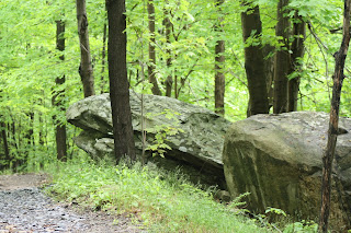
I'm at Black Rock now....my first time. When the path split, I took the fork to the right for no other reason than I'm right handed. This trail has been all up hill..like I feel my life is right now. I think I should turn around and go back down but I keep thinking the next turn will bring me to something wonderful. We can all hope because at times....that's all we have. I'm sitting on a big moss covered rock by all these fields of fern. It's beautiful in itself. I can swear I hear the Memorial Day parade down in town. I'm going to get going to head up...to better things.
After leaving the fern meadows, I continued up the trail. I saw plenty of chipmunks and heard lots of birds but saw very few of them. I eventually came to a gign with trail markers. There was also a Black Rock truck there and the man inside gave me a trail map. I had been on Hulse Road and now was a "2 gates". I continued on up Continental Road. I kept seeing fenced off areas with bird houses on posts. I was able to get a nice picture of a bird flying in to feed her babies.
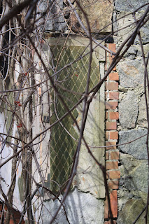
I then passed "white oak tree" (thank goodness for trail maps) and eneded up at the "stone house". There were 2 plaques in this area that I took pictures of. There was also Arthurs Pond in the distance.
I ended up leaving and going down White Oak trail. This was going to take me a little south of where I parked my car so I tried to find another trail off of the main one that would take me back but I couldn't seem to find it. There were alot of people (most with dogs) walking up to the reservoir for a med day swim. It was warm and humid today and would be a great day for swimming. I had about 4 hours to myself and it was a nice
way to reflect.
A great web site is:
www.blackrockforest.org/pdf-files/


